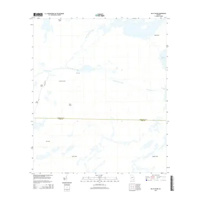
2014 Map of Billys Island
USGS Topo · Published 2014About this map
The Suwannee River and its various branches, including the Middle Fork and East Fork, dominate this landscape at the Charlton and Ware county line. The terrain is defined by a series of named islands, such as Billys Island, Floyds Island, and Honey Island, which rise amidst the wetlands of the Okefenokee. Traces of human activity are concentrated along the western edge, where Ga-177 and Campground Rd provide access to Jones Island and The Pocket.
Find a feature on this map
18 named features on this map. Tap any name to fly to it.
Don’t see what you’re looking for? This feature index may not catch every label — zoom into the map to look around manually.
Map Details
Editions of this 2014 Billys Island Map
This is the sole edition of this map. No revisions or reprints were ever made.
Other maps of this area
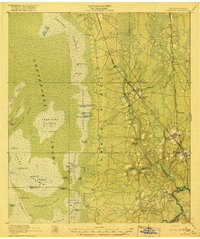
1918 · Folkston
USGS Topo · 1:62,500
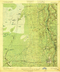
1918 · Moniac
USGS Topo · 1:62,500
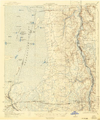
1942 · Moniac
USGS Topo · 1:62,500
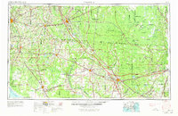
1954 · Valdosta
USGS Topo · 1:250,000
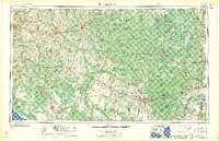
1958 · Valdosta
USGS Topo · 1:250,000
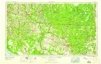
1959 · Valdosta
USGS Topo · 1:250,000
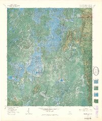
1965 · Chesser Island
USGS Topo · 1:24,000
1965 · Double Lakes
USGS Topo · 1:24,000
1965 · Chase Prairie
USGS Topo · 1:24,000
1965 · Blackjack Island
USGS Topo · 1:24,000