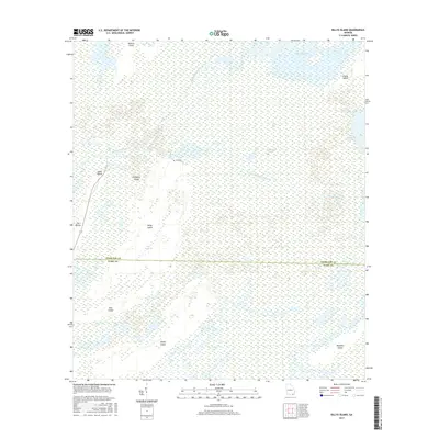
2017 Map of Billys Island
USGS Topo · Published 2017About this map
The Okefenokee Swamp dominates this landscape along the border of Charlton and Ware counties, where a network of islands and prairies rises above the wetlands. This survey provides a precise record of the interior swamp geography as it appeared in the early 21st century, focusing on the waterways and high ground that have historically supported human presence in this environment. Billys Island and Jones Island stand out as significant terrestrial features, while the Suwannee Canal and Middle Fork Suwannee River mark the primary hydraulic arteries. For those interested in local genealogy or the history of swamp settlement, the location of Lee Cem near the center of the sheet provides a tangible link to the families who once lived in this isolated region. The map also delineates diverse wetland types, from the open expanses of Chase Prairie to the sheltered waters of Jackson Bay and Long Lake.
Find a feature on this map
22 named features on this map. Tap any name to fly to it.
Don’t see what you’re looking for? This feature index may not catch every label — zoom into the map to look around manually.
Map Details
Editions of this 2017 Billys Island Map
This is the sole edition of this map. No revisions or reprints were ever made.
Other maps of this area
1918 · Folkston
USGS Topo · 1:62,500
1918 · Moniac
USGS Topo · 1:62,500
1942 · Moniac
USGS Topo · 1:62,500
1954 · Valdosta
USGS Topo · 1:250,000
1958 · Valdosta
USGS Topo · 1:250,000
1959 · Valdosta
USGS Topo · 1:250,000
1965 · Chesser Island
USGS Topo · 1:24,000
1965 · Double Lakes
USGS Topo · 1:24,000
1965 · Chase Prairie
USGS Topo · 1:24,000
1965 · Blackjack Island
USGS Topo · 1:24,000