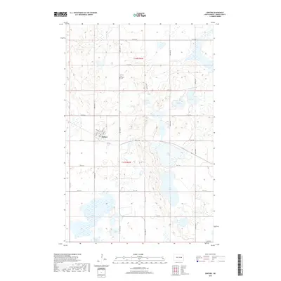
2017 Map of Binford
USGS Topo · Published 2017About this map
Binford serves as the central hub of this Griggs County landscape, which is defined by an intricate network of glacial lakes and depressions characteristic of the North Dakota prairies. The town's grid is detailed with local thoroughfares such as W Miller Ave, Whinery St, and Paulson St, providing a clear view of the community's layout just south of the Bethany Cem and Binford Cem. This survey illustrates how the township boundaries of t148n r60w and t147n r60w organize the surrounding agricultural land.
Find a feature on this map
35 named features on this map. Tap any name to fly to it.
Don’t see what you’re looking for? This feature index may not catch every label — zoom into the map to look around manually.
Map Details
Editions of this 2017 Binford Map
This is the sole edition of this map. No revisions or reprints were ever made.
Other maps of this area
1952 · New Rockford
USGS Topo · 1:250,000
1956 · New Rockford
USGS Topo · 1:250,000
1961 · Kloten NW
USGS Topo · 1:24,000
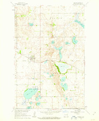
1961 · Binford
USGS Topo · 1:24,000
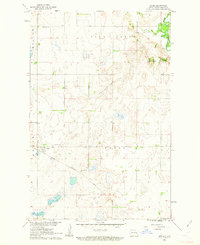
1961 · Jessie
USGS Topo · 1:24,000
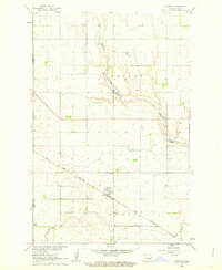
1961 · Sutton
USGS Topo · 1:24,000
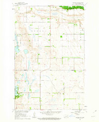
1961 · Binford NE
USGS Topo · 1:24,000
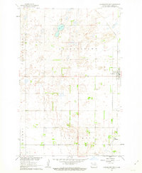
1961 · Cooperstown West
USGS Topo · 1:24,000
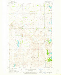
1961 · Binford NW
USGS Topo · 1:24,000
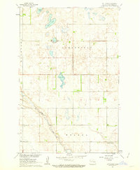
1961 · Sutton NE
USGS Topo · 1:24,000