
1961 Map of Jessie
USGS Topo · Published 1963About this map
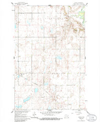
Jessie serves as the central hub of this Griggs County landscape, mapped during the early 1960s as part of a development program for the Missouri River Basin. The settlement is positioned along the Northern Pacific railroad, which cuts a diagonal path across the prairie between Addie and Tyrol townships. The topography is defined by glacial features, most notably the prominent Pilot Mound and Butte Michaud in the northeastern section, where the terrain breaks toward the winding Sheyenne River.
Find a feature on this map
17 named features on this map. Tap any name to fly to it.
Don’t see what you’re looking for? This feature index may not catch every label — zoom into the map to look around manually.
Map Details
Editions of this 1961 Jessie Map
2 editions found
Other maps of this area

1952 · New Rockford
USGS Topo · 1:250,000

1956 · New Rockford
USGS Topo · 1:250,000

1961 · Kloten NW
USGS Topo · 1:24,000

1961 · Binford
USGS Topo · 1:24,000

1961 · Cooperstown East
USGS Topo · 1:24,000

1961 · Binford NE
USGS Topo · 1:24,000

1961 · Cooperstown West
USGS Topo · 1:24,000

1961 · Sutton NE
USGS Topo · 1:24,000
1967 · Kloten SE
USGS Topo · 1:24,000
1967 · Kloten
USGS Topo · 1:24,000