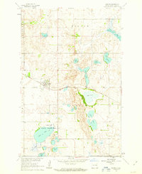
1961 Map of Binford
USGS Topo · Published 1963About this map
The town of Binford serves as a focal point for this 1961 survey of Griggs County, situated along the Northern Pacific railroad line. The surrounding landscape is defined by an extensive series of glacial lakes and prairie potholes, including Sibley Lake, Lake Jessie, and Lake Addie. A significant portion of the southwestern quadrant is dedicated to the Sibley Lake National Wildlife Refuge, indicating the region's importance for migratory birds and local conservation.
Find a feature on this map
24 named features on this map. Tap any name to fly to it.
Don’t see what you’re looking for? This feature index may not catch every label — zoom into the map to look around manually.
Map Details
Editions of this 1961 Binford Map
This is the sole edition of this map. No revisions or reprints were ever made.
Other maps of this area
1952 · New Rockford
USGS Topo · 1:250,000
1956 · New Rockford
USGS Topo · 1:250,000
1961 · Kloten NW
USGS Topo · 1:24,000
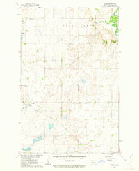
1961 · Jessie
USGS Topo · 1:24,000
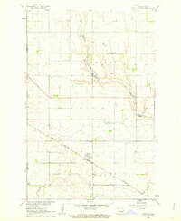
1961 · Sutton
USGS Topo · 1:24,000
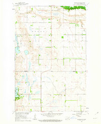
1961 · Binford NE
USGS Topo · 1:24,000
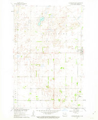
1961 · Cooperstown West
USGS Topo · 1:24,000
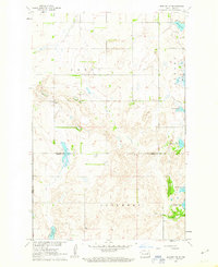
1961 · Binford NW
USGS Topo · 1:24,000
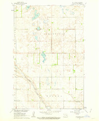
1961 · Sutton NE
USGS Topo · 1:24,000
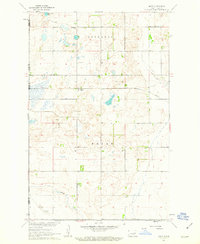
1961 · Mose
USGS Topo · 1:24,000