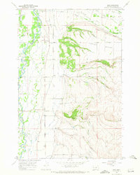
1967 Map of Bing
USGS Topo · Published 1972About this map
The Bitterroot River floodplains and the elevated terrace of Sunset Bench define the landscape of Ravalli County in the late 1960s. This survey captures the vital water management systems essential to the Bitterroot Valley, most notably the Bitterroot Irrigation District Canal and the complex network of creeks such as North Swamp Creek and Spooner Creek that drain the eastern hills. The transport corridor is firmly established along the Burlington Northern rail line and the East Side Highway, which connect the small settlement of Bing and the rail-dependent Victor Siding.
Find a feature on this map
29 named features on this map. Tap any name to fly to it.
Don’t see what you’re looking for? This feature index may not catch every label — zoom into the map to look around manually.
Map Details
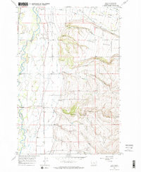
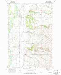
Editions of this 1967 Bing Map
3 editions found
Other maps of this area

1901 · Hamilton
USGS Topo · 1:125,000

1903 · Bonner
USGS Topo · 1:125,000

1909 · Sapphire
USGS Topo · 1:125,000

1912 · Missoula
USGS Topo · 1:125,000

1947 · Butte
USGS Topo · 1:250,000

1956 · Hamilton
USGS Topo · 1:250,000

1958 · Butte
USGS Topo · 1:250,000

1959 · Hamilton
USGS Topo · 1:250,000

1959 · Cleveland Mountain
USGS Topo · 1:62,500

1960 · Butte
USGS Topo · 1:250,000