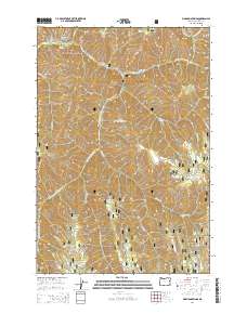
2014 Map of Bingham Springs
USGS Topo · Published 2014About this map
Bingham Springs and the surrounding wilderness of the Umatilla National Forest dominate this high-country landscape, where the Umatilla River divides into its various forks and tributaries. The terrain is characterized by a series of prominent ridges and peaks, including Bobsled Ridge, Ninemile Ridge, and Ruckel Ridge, which separate deep drainages like Thomas Creek and Shimmiehorn Creek. The presence of several high-elevation water sources such as Whitman Spring, Zigzag Spring, and Slusher Spring indicates the importance of these points for both wildlife and human activity in the Umatilla backcountry.
Find a feature on this map
44 named features on this map. Tap any name to fly to it.
Don’t see what you’re looking for? This feature index may not catch every label — zoom into the map to look around manually.
Map Details
Editions of this 2014 Bingham Springs Map
This is the sole edition of this map. No revisions or reprints were ever made.
Other maps of this area

1953 · Pendleton
USGS Topo · 1:250,000

1956 · Pendleton
USGS Topo · 1:250,000

1963 · Andies Prairie
USGS Topo · 1:24,000

1963 · Sanderson Spring
USGS Topo · 1:24,000

1963 · Bingham Springs
USGS Topo · 1:24,000

1963 · Tollgate
USGS Topo · 1:24,000

1963 · Blalock Mountain
USGS Topo · 1:24,000

1964 · Weston Mountain
USGS Topo · 1:24,000

1964 · Duncan
USGS Topo · 1:24,000

1964 · Thimbleberry Mtn
USGS Topo · 1:24,000