
1964 Map of Duncan
USGS Topo · Published 1966About this map
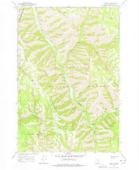
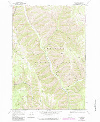
Meacham Creek carves a deep valley through this portion of the Umatilla National Forest, serving as a primary corridor for both the Union Pacific railroad and local settlement. The small community of Duncan sits along the tracks, supported by the nearby Duncan Guard Station and the higher ground of Johnson Ridge. Further north, the settlement of Gibbon marks the boundary of the Umatilla Indian Reservation, where the landscape transitions into the steep terrain of Gibbon Ridge. The mapping reveals an extensive network of drainage systems, including Dutchman Canyon and Rattlesnake Creek, feeding into the main fork. High elevation landmarks like Black Canyon Butte and Wilbur Mountain define the horizon, while isolated points like Smith Gate and various mountain springs suggest the locations of early forest access and grazing boundaries within the Blue Mountains region.
Find a feature on this map
33 named features on this map. Tap any name to fly to it.
Don’t see what you’re looking for? This feature index may not catch every label — zoom into the map to look around manually.
Map Details
Editions of this 1964 Duncan Map
3 editions found
Other maps of this area

1953 · Pendleton
USGS Topo · 1:250,000

1956 · Pendleton
USGS Topo · 1:250,000

1963 · Meacham Lake
USGS Topo · 1:24,000

1963 · Bingham Springs
USGS Topo · 1:24,000

1964 · Thorn Hollow
USGS Topo · 1:24,000

1964 · Thimbleberry Mtn
USGS Topo · 1:24,000

1964 · Gibbon
USGS Topo · 1:24,000

1964 · Huron
USGS Topo · 1:24,000

1964 · Drumhill Ridge
USGS Topo · 1:24,000

1964 · Meacham
USGS Topo · 1:24,000