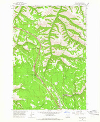
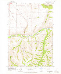
1964 Map of Meacham
USGS Topo · Published 1966About this map
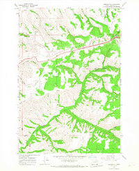
Meacham serves as a central hub for the transport and administrative activity in the Blue Mountains during the mid-1960s. The settlement is defined by the heavy infrastructure of the Union Pacific railroad and the presence of a Weather Bureau station and pumphouse near the tracks. Significant land-use divisions are marked by the Umatilla Indian Reservation Boundary Old Indian Treaty Boundary, illustrating the complex history of territorial agreements in this region.
Find a feature on this map
33 named features on this map. Tap any name to fly to it.
Don’t see what you’re looking for? This feature index may not catch every label — zoom into the map to look around manually.
Map Details
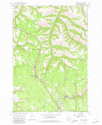
Editions of this 1964 Meacham Map
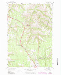
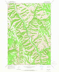
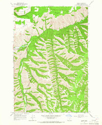
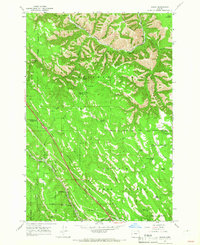
Other maps of this area

1935 · Pendleton
USGS Topo · 1:125,000

1953 · Pendleton
USGS Topo · 1:250,000

1956 · Pendleton
USGS Topo · 1:250,000
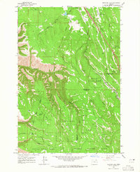
1963 · Meacham Lake
USGS Topo · 1:24,000
1964 · Thorn Hollow
USGS Topo · 1:24,000
1964 · Duncan
USGS Topo · 1:24,000
1964 · Gibbon
USGS Topo · 1:24,000
1964 · Huron
USGS Topo · 1:24,000
1966 · Cabbage Hill
USGS Topo · 1:24,000
1966 · Cayuse
USGS Topo · 1:24,000