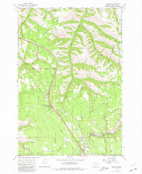
1964 Map of Meacham
USGS Topo · Published 1980About this map
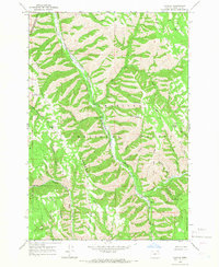
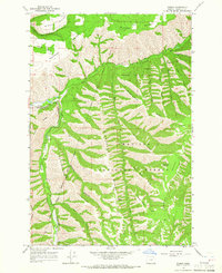
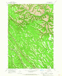
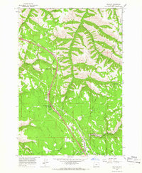
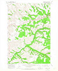
The settlement of Meacham serves as a focal point in this 1964 survey of the Blue Mountains region, where transportation routes and jurisdictional lines intersect. The map documents the intricate overlap of the Umatilla Indian Reservation Boundary and the Umatilla National Forest, alongside the Old Indian Treaty Boundary. This area is characterized by high ridges like Telephone Ridge and Light Ridge, separated by a dense network of watercourses including Squaw Creek and the North Fork McKay Creek. The presence of the Weather Bureau and a Radio Tower suggests the importance of this high-elevation pass for monitoring and communication. Recreational and administrative infrastructure is noted at Emigrant Springs State Park, which includes a campground and water tank, reflecting the area's role as a transition point for travelers crossing the range.
Find a feature on this map
35 named features on this map. Tap any name to fly to it.
Don’t see what you’re looking for? This feature index may not catch every label — zoom into the map to look around manually.
Map Details
Editions of this 1964 Meacham Map
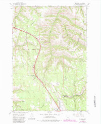
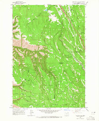
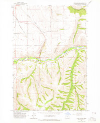
Other maps of this area

1935 · Pendleton
USGS Topo · 1:125,000

1953 · Pendleton
USGS Topo · 1:250,000

1956 · Pendleton
USGS Topo · 1:250,000
1963 · Meacham Lake
USGS Topo · 1:24,000
1964 · Thorn Hollow
USGS Topo · 1:24,000
1964 · Duncan
USGS Topo · 1:24,000
1964 · Gibbon
USGS Topo · 1:24,000
1964 · Huron
USGS Topo · 1:24,000
1964 · Meacham
USGS Topo · 1:24,000
1966 · Cabbage Hill
USGS Topo · 1:24,000