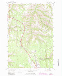
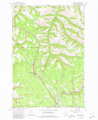
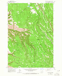
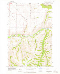
1964 Map of Meacham
USGS Topo · Published 1984About this map
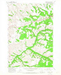
The high plateau of the Blue Mountains defines this landscape, where the Union Pacific railroad and major modern thoroughfares follow the historical path through the timbered ridges of Umatilla County. The settlement of Meacham serves as a focal point near the southern edge of the map, situated amidst a network of canyon-carving waters including Beaver Creek and Sheep Creek. A notable historical boundary, the Umatilla Indian Reservation Boundary Old Indian Treaty Boundary, cuts across the center of the sheet, marking the intersection of indigenous lands and federal forest reserves. Public lands and recreation are prominent, from the Emigrant Spring State Park campground to the Blue Mountain Forest Wayside. The map also captures infrastructure critical to the era, such as a Radio Tower near the Squaw Creek Overlook and multiple pipelines traversing the terrain of Telephone Ridge and Light Ridge.
Find a feature on this map
31 named features on this map. Tap any name to fly to it.
Don’t see what you’re looking for? This feature index may not catch every label — zoom into the map to look around manually.
Map Details
Editions of this 1964 Meacham Map
Other maps of this area

1935 · Pendleton
USGS Topo · 1:125,000

1953 · Pendleton
USGS Topo · 1:250,000

1956 · Pendleton
USGS Topo · 1:250,000
1963 · Meacham Lake
USGS Topo · 1:24,000
1964 · Thorn Hollow
USGS Topo · 1:24,000
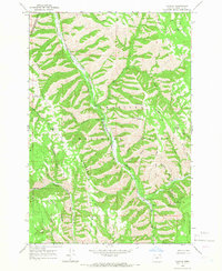
1964 · Duncan
USGS Topo · 1:24,000
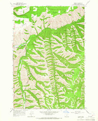
1964 · Gibbon
USGS Topo · 1:24,000
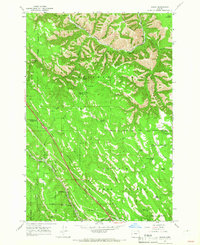
1964 · Huron
USGS Topo · 1:24,000
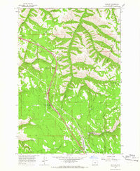
1964 · Meacham
USGS Topo · 1:24,000
1966 · Cabbage Hill
USGS Topo · 1:24,000