
1964 Map of Weston Mountain
USGS Topo · Published 1965About this map
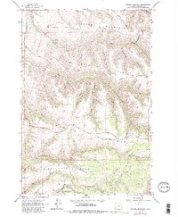
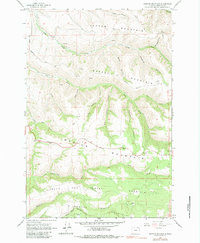
Weston Mountain and the surrounding peaks of the Blue Mountains dominate this mid-1960s landscape in Umatilla County. The northern edge of the Umatilla Indian Reservation Bdy cuts across the southern portion of the sheet, where Wildhorse Creek flows through the canyon floor below Wildhorse Mountain. The survey captures the intricate drainage system of the area, featuring named canyons such as Scott Canyon, Big Rayborn Canyon, and Hodgson Canyon. Settlement is sparse, represented by the small locale of Waldo and a lone Cem situated on a high ridge. High-altitude landmarks like Big Saddle and Lincton Mountain define the topography, while a Radio Facility on Basket Mountain indicates the era's modern communication infrastructure. The map is a detailed record of the steep breaks and timbered ridges that define this part of the Oregon backcountry before extensive modern development.
Find a feature on this map
42 named features on this map. Tap any name to fly to it.
Don’t see what you’re looking for? This feature index may not catch every label — zoom into the map to look around manually.
Map Details
Editions of this 1964 Weston Mountain Map
3 editions found
Other maps of this area

1953 · Pendleton
USGS Topo · 1:250,000

1956 · Pendleton
USGS Topo · 1:250,000

1963 · Bingham Springs
USGS Topo · 1:24,000

1963 · Blalock Mountain
USGS Topo · 1:24,000

1963 · Peterson Ridge
USGS Topo · 1:24,000

1964 · Milton-Freewater
USGS Topo · 1:24,000

1964 · Thorn Hollow
USGS Topo · 1:24,000

1964 · Athena
USGS Topo · 1:24,000

1964 · Bowlus Hill
USGS Topo · 1:24,000

1964 · Gibbon
USGS Topo · 1:24,000