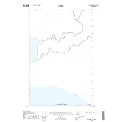
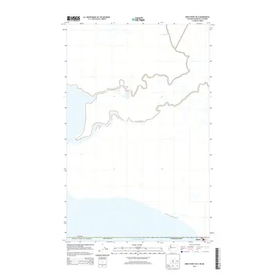
2020 Map of Birch Point OE N
USGS Topo · Published 2020About this map
Semiahmoo Bay defines the southern reach of this international borderlands survey, where the waters of the Pacific Northwest meet the land near the northwesternmost corner of the contiguous United States. The map traces the critical boundary between the Canada United States of America, documenting the topographic and hydrographic transition across this geopolitical divide. In the southeastern corner, the settlement of Blaine appears at the edge of the border, highlighting its role as a key port of entry and coastal community. The surrounding landscape is characterized by a network of drainage patterns and tidal inlets that illustrate the complex coastal geography of the region. This 2020 edition provides a precise view of the interface between maritime and terrestrial environments at the international line.
Find a feature on this map
4 named features on this map. Tap any name to fly to it.
Don’t see what you’re looking for? This feature index may not catch every label — zoom into the map to look around manually.
Map Details
Editions of this 2020 Birch Point OE N Map
This is the sole edition of this map. No revisions or reprints were ever made.
Other maps of this area

1907 · Blaine
USGS Topo · 1:62,500

1952 · Birch Point
USGS Topo · 1:24,000

1952 · Blaine
USGS Topo · 1:24,000

1952 · Blaine
USGS Topo · 1:62,500

1957 · Victoria
USGS Topo · 1:250,000

1975 · Bellingham
USGS Topo · 1:100,000
2011 · Birch Point
USGS Topo · 1:24,000
2011 · Blaine
USGS Topo · 1:24,000
2014 · Blaine OE N
USGS Topo · 1:24,000
2014 · Birch Point OE N
USGS Topo · 1:24,000