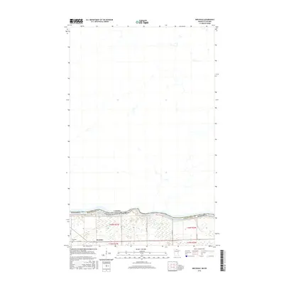
2016 Map of Birchdale
USGS Topo · Published 2016About this map
The Rainy River defines the international boundary in this 2016 survey, separating Koochiching County, Minnesota from the Canadian province of Ontario. The small settlement of Birchdale sits just south of the riverbanks, serving as a quiet focal point along Co Hwy 4. This area is characterized by the natural bend of the river and the presence of the Long Sault Rapids, which historically influenced local navigation and activity.
Find a feature on this map
18 named features on this map. Tap any name to fly to it.
Don’t see what you’re looking for? This feature index may not catch every label — zoom into the map to look around manually.
Map Details
Editions of this 2016 Birchdale Map
This is the sole edition of this map. No revisions or reprints were ever made.
Other maps of this area
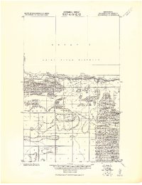
1919 · Birchdale
USGS Topo · 1:62,500
1954 · Roseau
USGS Topo · 1:250,000
1954 · International Falls
USGS Topo · 1:250,000
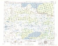
1957 · Roseau
USGS Topo · 1:250,000
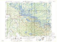
1957 · International Falls
USGS Topo · 1:250,000
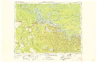
1958 · International Falls
USGS Topo · 1:250,000
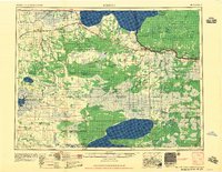
1958 · Roseau
USGS Topo · 1:250,000
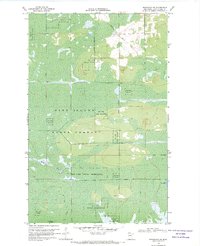
1968 · Birchdale SW
USGS Topo · 1:24,000
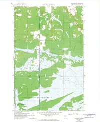
1968 · Birchdale SE
USGS Topo · 1:24,000
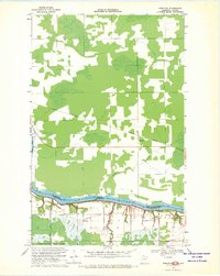
1968 · Stratton
USGS Topo · 1:24,000