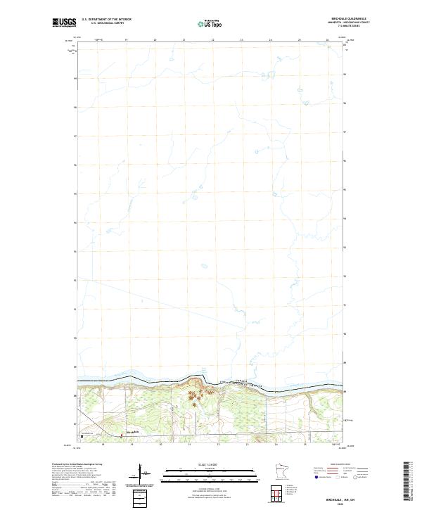
2022 Map of Birchdale
USGS Topo · Published 2022About this map
The Rainy River defines the international boundary between the United States and Canada in this northern Minnesota landscape, where the Long Sault Rapids disrupt the steady flow of the river. The small settlement of Birchdale serves as the primary hub of human activity, situated south of the river along Co Hwy 4. For those researching local family history, the Birchdale Cem is a significant landmark located on the western edge of the village. The map detail highlights the hydrological network of the area, including the paths of Cameron Cr and Sturgeon Cr as they move toward the border. This 2022 survey captures the modern road network, consisting primarily of county and town routes like Town Rd 117 and Co Rd 86, which navigate the low-lying terrain and wetlands typical of Koochiching County.
Find a feature on this map
19 named features on this map. Tap any name to fly to it.
Don’t see what you’re looking for? This feature index may not catch every label — zoom into the map to look around manually.
Map Details
Editions of this 2022 Birchdale Map
This is the sole edition of this map. No revisions or reprints were ever made.
Other maps of this area

1919 · Birchdale
USGS Topo · 1:62,500

1954 · Roseau
USGS Topo · 1:250,000

1954 · International Falls
USGS Topo · 1:250,000

1957 · Roseau
USGS Topo · 1:250,000

1957 · International Falls
USGS Topo · 1:250,000

1958 · International Falls
USGS Topo · 1:250,000

1958 · Roseau
USGS Topo · 1:250,000

1968 · Birchdale SW
USGS Topo · 1:24,000

1968 · Birchdale SE
USGS Topo · 1:24,000

1968 · Stratton
USGS Topo · 1:24,000