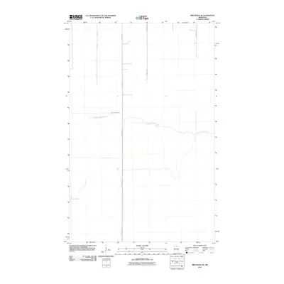
2010 Map of Birchdale SE
USGS Topo · Published 2010About this map
West Fork Black River meanders across this northern Minnesota landscape, creating a distinct riparian corridor through the low-lying terrain of Koochiching County. The map reveals a highly structured grid of land management and transportation, dominated by long, straight thoroughfares such as County Hwy-86 and County Hwy-85. These routes, along with Town Road 112, represent the primary human imprint on an otherwise remote environment characterized by wetlands and the isolated Lost Lake. The transition between the winding natural path of the river and the rigid geometry of the local road network illustrates the 21st-century state of rural land use in this border region.
Find a feature on this map
6 named features on this map. Tap any name to fly to it.
Don’t see what you’re looking for? This feature index may not catch every label — zoom into the map to look around manually.
Map Details
Editions of this 2010 Birchdale SE Map
This is the sole edition of this map. No revisions or reprints were ever made.
Other maps of this area

1919 · Birchdale
USGS Topo · 1:62,500

1919 · I
USGS Topo · 1:62,500

1943 · Lindford
USGS Topo · 1:62,500

1954 · Roseau
USGS Topo · 1:250,000

1954 · International Falls
USGS Topo · 1:250,000

1957 · Roseau
USGS Topo · 1:250,000

1957 · International Falls
USGS Topo · 1:250,000

1958 · International Falls
USGS Topo · 1:250,000

1958 · Roseau
USGS Topo · 1:250,000

1968 · Birchdale SW
USGS Topo · 1:24,000