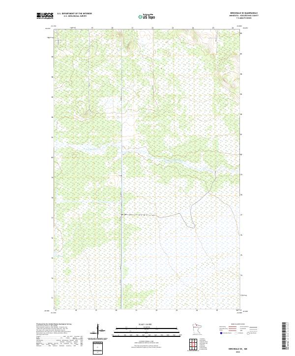
2022 Map of Birchdale SE
USGS Topo · Published 2022About this map
The W Fork Black River snakes through a heavily saturated landscape of the Northwoods, dominating the central and eastern portions of this quadrangle. The terrain is characterized by extensive wetlands and low-lying marshes, typical of the northern Minnesota borderlands. Human infrastructure is sparse, limited primarily to a grid of rural roads such as Co Rd 86 and Co Rd 104 that navigate the peatlands and forests. To the southwest, Lost Lake sits as a quiet landmark within the expansive drainage basin. This modern survey reflects a region primarily managed for natural resources and conservation, where township boundaries like t159n r27w and t159n r26w divide a landscape that remains largely undeveloped and defined by its complex hydrography.
Find a feature on this map
12 named features on this map. Tap any name to fly to it.
Don’t see what you’re looking for? This feature index may not catch every label — zoom into the map to look around manually.
Map Details
Editions of this 2022 Birchdale SE Map
This is the sole edition of this map. No revisions or reprints were ever made.
Other maps of this area

1919 · Birchdale
USGS Topo · 1:62,500

1919 · I
USGS Topo · 1:62,500

1943 · Lindford
USGS Topo · 1:62,500

1954 · Roseau
USGS Topo · 1:250,000

1954 · International Falls
USGS Topo · 1:250,000

1957 · Roseau
USGS Topo · 1:250,000

1957 · International Falls
USGS Topo · 1:250,000

1958 · International Falls
USGS Topo · 1:250,000

1958 · Roseau
USGS Topo · 1:250,000

1968 · Birchdale SW
USGS Topo · 1:24,000