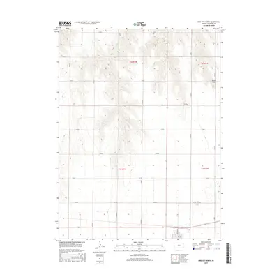
2015 Map of Bird City North
USGS Topo · Published 2015About this map
The high plains of Cheyenne County are defined here by the drainage of Big Timber Cr, which carves a deep central valley through the section lines of the Kansas prairie. To the north, the terrain becomes more broken where Sawyer Canyon and Wolfe Canyon cut into the tableland, creating a distinct topographical contrast with the flat agricultural plots to the south. Near the southern boundary, the residential grid of the county seat begins to emerge, marked by north-south thoroughfares such as Bird Ave, Cave Ave, and Rich Ave. This map captures the intersection of rural land management and the edge of town life, where the quiet grounds of the Bird City Cem overlook the expansive open country and the primary east-west corridor of Co RD O.
Find a feature on this map
21 named features on this map. Tap any name to fly to it.
Don’t see what you’re looking for? This feature index may not catch every label — zoom into the map to look around manually.
Map Details
Editions of this 2015 Bird City North Map
This is the sole edition of this map. No revisions or reprints were ever made.
Other maps of this area
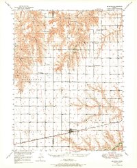
1950 · Mc Donald
USGS Topo · 1:62,500
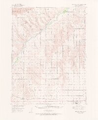
1951 · Bird City North
USGS Topo · 1:62,500
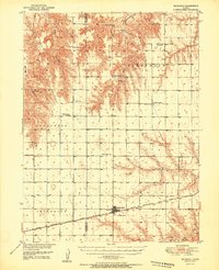
1951 · Mc Donald
USGS Topo · 1:62,500
1951 · Bird City South
USGS Topo · 1:62,500
1951 · Dewey Ranch
USGS Topo · 1:62,500

1954 · Goodland
USGS Topo · 1:250,000

1956 · Goodland
USGS Topo · 1:250,000

1957 · Goodland
USGS Topo · 1:250,000
1976 · Bird City North
USGS Topo · 1:24,000
1976 · Henkle Canyon
USGS Topo · 1:24,000