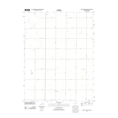
2012 Map of Bird City South NW
USGS Topo · Published 2012About this map
The agrarian landscape of Cheyenne County is defined by a rigid section-line road network that segments the high plains of northwest Kansas. Sand Cr provides the primary natural relief in this region, winding its way through the northwest corner of the map. This 2012 survey illustrates the enduring structure of the rural community, where the grid of local thoroughfares like Road 18 and Road M connect isolated farmsteads. Cultural markers are primarily limited to local burial grounds, including Wheeler Cem in the north and Saint Pauls Cem further south. These sites, along with the consistent naming of the gravel and dirt road system, serve as the primary landmarks for those tracing family history or the evolution of land use in this sparsely settled prairie environment.
Find a feature on this map
17 named features on this map. Tap any name to fly to it.
Don’t see what you’re looking for? This feature index may not catch every label — zoom into the map to look around manually.
Map Details
Editions of this 2012 Bird City South NW Map
This is the sole edition of this map. No revisions or reprints were ever made.
Other maps of this area

1942 · St. Francis
USGS Topo · 1:62,500

1943 · St. Francis
USGS Topo · 1:62,500

1951 · St Francis
USGS Topo · 1:62,500

1951 · Bird City North
USGS Topo · 1:62,500

1951 · Bird City South
USGS Topo · 1:62,500

1952 · St Francis 3
USGS Topo · 1:62,500

1954 · Goodland
USGS Topo · 1:250,000

1956 · Goodland
USGS Topo · 1:250,000

1957 · Goodland
USGS Topo · 1:250,000

1976 · Bird City North
USGS Topo · 1:24,000