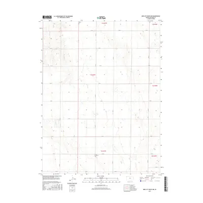
2015 Map of Bird City South NW
USGS Topo · Published 2015About this map
Wheeler Cem and Saint Pauls Cem anchor this 2015 study of western Kansas, where the high plains landscape is defined by the rigid grid of the Public Land Survey System. The map reveals the agrarian organization of the region through a network of section lines including Co RD 20 and Co RD I, which segment the territory across townships T3S, T4S, and T5S. Drainage is sparse across this portion of Cheyenne County, with Sand Cr providing the primary topographic break in the northwest corner. This map is particularly useful for those tracing cemetery locations or early 21st-century road designations in a region where local markers often serve as the primary landmarks in an open landscape.
Find a feature on this map
22 named features on this map. Tap any name to fly to it.
Don’t see what you’re looking for? This feature index may not catch every label — zoom into the map to look around manually.
Map Details
Editions of this 2015 Bird City South NW Map
This is the sole edition of this map. No revisions or reprints were ever made.
Other maps of this area
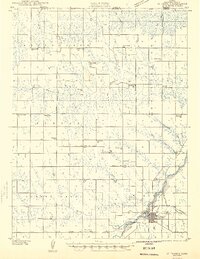
1942 · St. Francis
USGS Topo · 1:62,500
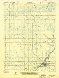
1943 · St. Francis
USGS Topo · 1:62,500
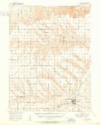
1951 · St Francis
USGS Topo · 1:62,500
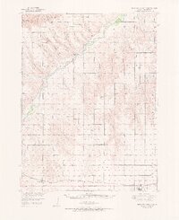
1951 · Bird City North
USGS Topo · 1:62,500
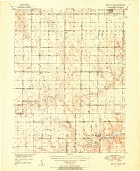
1951 · Bird City South
USGS Topo · 1:62,500
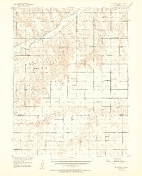
1952 · St Francis 3
USGS Topo · 1:62,500

1954 · Goodland
USGS Topo · 1:250,000

1956 · Goodland
USGS Topo · 1:250,000

1957 · Goodland
USGS Topo · 1:250,000
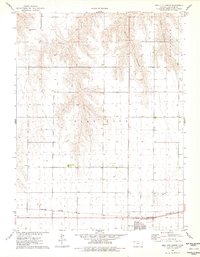
1976 · Bird City North
USGS Topo · 1:24,000