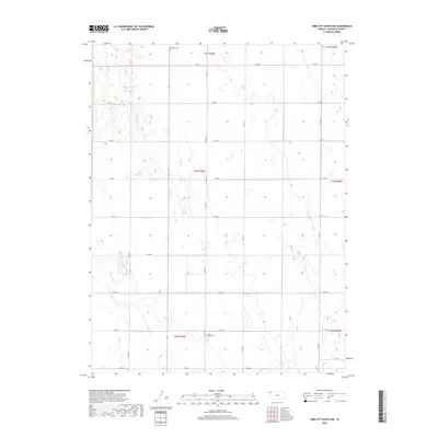
2018 Map of Bird City South NW
USGS Topo · Published 2018About this map
Wheeler Cem and Saint Pauls Cem anchor this grid of the High Plains, representing the enduring legacy of early settlers in Cheyenne County. The landscape is defined by the ephemeral drainage of Sand Cr, which carves subtle contours through a territory primarily organized by the Public Land Survey System. The map documents the vast expanses of Townships 3, 4, and 5 South, where the sparse placement of these family-named cemeteries highlights the isolation of prairie life. While modern section roads like Co RD 20 and Co RD M trace the cardinal directions, the underlying geography remains a study in the agricultural persistence and land management of the western Kansas panhandle.
Find a feature on this map
22 named features on this map. Tap any name to fly to it.
Don’t see what you’re looking for? This feature index may not catch every label — zoom into the map to look around manually.
Map Details
Editions of this 2018 Bird City South NW Map
This is the sole edition of this map. No revisions or reprints were ever made.
Other maps of this area
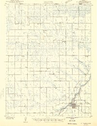
1942 · St. Francis
USGS Topo · 1:62,500
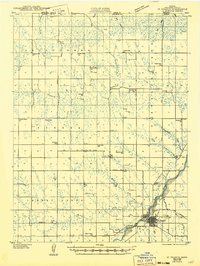
1943 · St. Francis
USGS Topo · 1:62,500
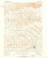
1951 · St Francis
USGS Topo · 1:62,500
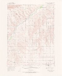
1951 · Bird City North
USGS Topo · 1:62,500
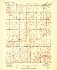
1951 · Bird City South
USGS Topo · 1:62,500
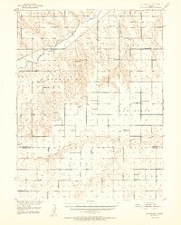
1952 · St Francis 3
USGS Topo · 1:62,500

1954 · Goodland
USGS Topo · 1:250,000

1956 · Goodland
USGS Topo · 1:250,000

1957 · Goodland
USGS Topo · 1:250,000
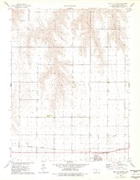
1976 · Bird City North
USGS Topo · 1:24,000