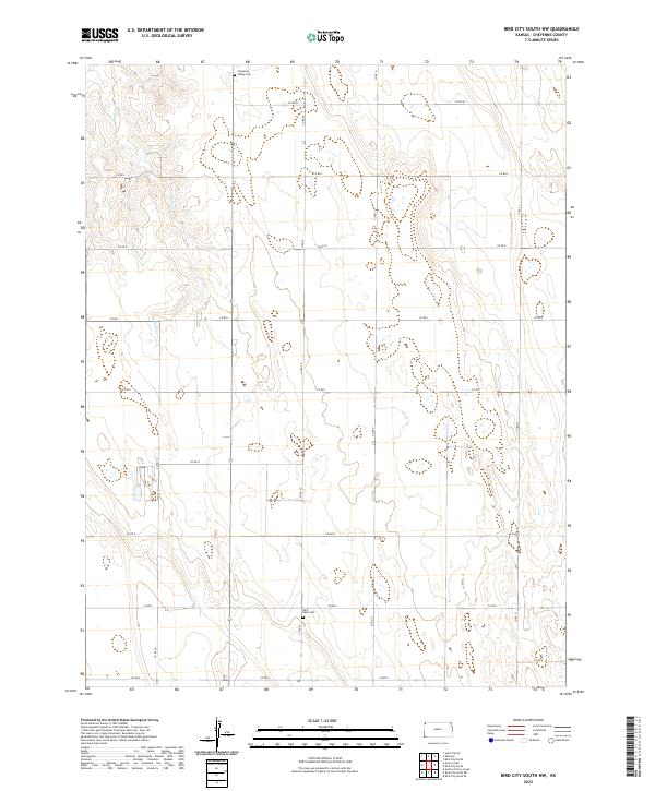
2022 Map of Bird City South NW
USGS Topo · Published 2022About this map
High plains agriculture and local heritage define this portion of t3s r39w and its surrounding townships in Cheyenne County. The landscape is characterized by a disciplined grid of rural thoroughfares, including Co RD 20 and Co RD M, which navigate the subtle drainages and draws typical of this part of the Kansas panhandle. Significant genealogical markers such as Cheyenne Valley Cem in the north and Saint Pauls Cem to the south serve as anchors for local family histories. These sites, along with the seasonal flow of Sand Cr in the northwest, reflect a pattern of settlement and land use that has persisted through generations of dryland farming.
Find a feature on this map
22 named features on this map. Tap any name to fly to it.
Don’t see what you’re looking for? This feature index may not catch every label — zoom into the map to look around manually.
Map Details
Editions of this 2022 Bird City South NW Map
This is the sole edition of this map. No revisions or reprints were ever made.
Other maps of this area

1942 · St. Francis
USGS Topo · 1:62,500

1943 · St. Francis
USGS Topo · 1:62,500

1951 · St Francis
USGS Topo · 1:62,500

1951 · Bird City North
USGS Topo · 1:62,500

1951 · Bird City South
USGS Topo · 1:62,500

1952 · St Francis 3
USGS Topo · 1:62,500

1954 · Goodland
USGS Topo · 1:250,000

1956 · Goodland
USGS Topo · 1:250,000

1957 · Goodland
USGS Topo · 1:250,000

1976 · Bird City North
USGS Topo · 1:24,000