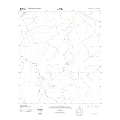
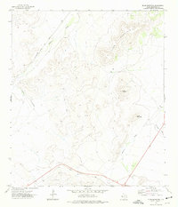
2012 Map of Bird Mountain
USGS Topo · Published 2012About this map
Bird Mtn and Smith Peak dominate the skyline of this high desert region in Brewster County, marking the transition between the vast Trans-Pecos plateaus and the canyonlands of the south. The landscape is characterized by intermittent drainages like Moss Cr and Red Haw Draw, which flow during the seasonal rains common to West Texas. The sparse road network reflects the area's pastoral and ranching heritage, with traditional routes such as Old Marathon Rd and High Lonesome traversing the territory.
Find a feature on this map
14 named features on this map. Tap any name to fly to it.
Don’t see what you’re looking for? This feature index may not catch every label — zoom into the map to look around manually.
Map Details
Editions of this 2012 Bird Mountain Map
This is the sole edition of this map. No revisions or reprints were ever made.
Other maps of this area
1895 · Alpine
USGS Topo · 1:125,000
1920 · Monument Spring
USGS Topo · 1:62,500
1921 · Monument Spring
USGS Topo · 1:62,500
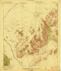
1923 · Altuda
USGS Topo · 1:62,500

1954 · Fort Stockton
USGS Topo · 1:250,000

1958 · Fort Stockton
USGS Topo · 1:250,000
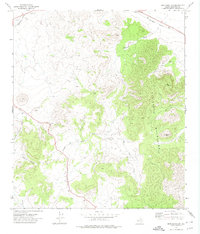
1972 · Bird Mountain
USGS Topo · 1:24,000
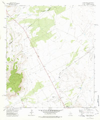
1972 · Alpine North
USGS Topo · 1:24,000
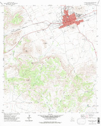
1972 · Alpine South
USGS Topo · 1:24,000
1972 · Elam Mountain
USGS Topo · 1:24,000