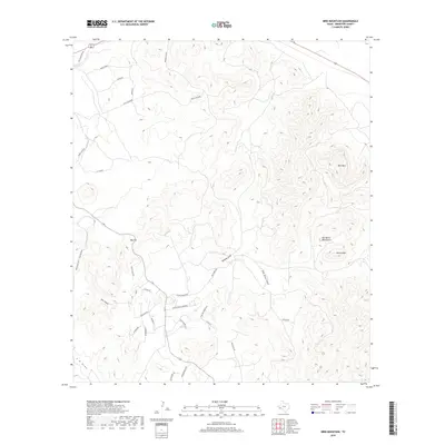
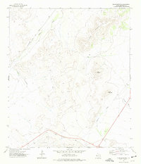
2019 Map of Bird Mountain
USGS Topo · Published 2019About this map
Bird Mtn and the northern reaches of the Del Norte Mountains dominate this Brewster County landscape, where high-desert ridges and ephemeral drainage systems define the local geography. The map captures a transition between named topographical heights like Smith Peak and Big Hill, and the lower flats characterized by expansive ranch lands such as the C F Ranch. A network of residential and ranch roads, including W Mullberry Rd and Texas Oak Dr, suggests modern rural development tucked between established landmarks like High Lonesome and Sierra La Rana. Significant watercourses, typically dry outside of seasonal rain events, are documented here through the presence of Moss Cr, Ramsey Draw, and Red Haw Draw, which have historically dictated the placement of trails and property boundaries in this arid environment.
Find a feature on this map
34 named features on this map. Tap any name to fly to it.
Don’t see what you’re looking for? This feature index may not catch every label — zoom into the map to look around manually.
Map Details
Editions of this 2019 Bird Mountain Map
This is the sole edition of this map. No revisions or reprints were ever made.
Other maps of this area
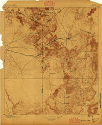
1895 · Alpine
USGS Topo · 1:125,000
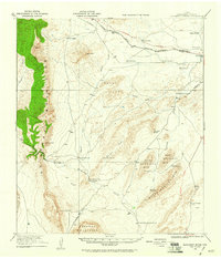
1920 · Monument Spring
USGS Topo · 1:62,500
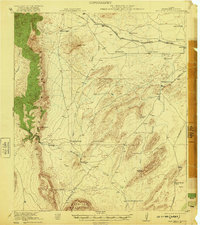
1921 · Monument Spring
USGS Topo · 1:62,500
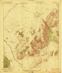
1923 · Altuda
USGS Topo · 1:62,500

1954 · Fort Stockton
USGS Topo · 1:250,000

1958 · Fort Stockton
USGS Topo · 1:250,000
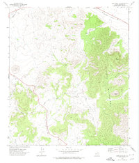
1972 · Bird Mountain
USGS Topo · 1:24,000
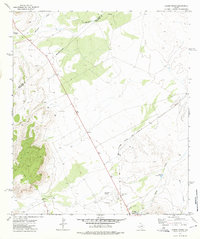
1972 · Alpine North
USGS Topo · 1:24,000
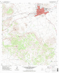
1972 · Alpine South
USGS Topo · 1:24,000
1972 · Elam Mountain
USGS Topo · 1:24,000