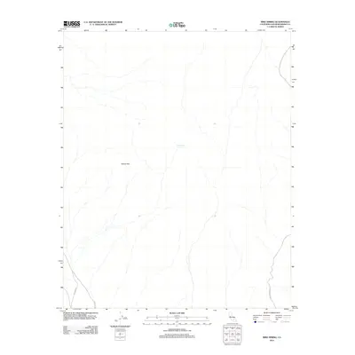
2012 Map of Bird Spring
USGS Topo · Published 2012About this map
Bird Spring serves as a vital water point in this arid stretch of the Mojave Desert, located within the expansive Gravel Hills. The topography is defined by complex drainage patterns and washes that cut through the terrain, illustrating the hydrologic character of this part of San Bernardino County. Transportation through the area is limited to established desert routes including Hoffman Rd, Lockhart Rd, and Black Canyon Rd, which follow the natural contours of the land. This survey from the U.S. Geological Survey captures the landscape during the early 21st century, focusing on the essential water sources and the network of roads that connect this remote environment.
Find a feature on this map
5 named features on this map. Tap any name to fly to it.
Don’t see what you’re looking for? This feature index may not catch every label — zoom into the map to look around manually.
Map Details
Editions of this 2012 Bird Spring Map
This is the sole edition of this map. No revisions or reprints were ever made.
Other maps of this area
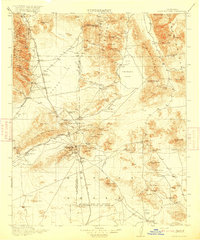
1915 · Searles Lake
USGS Topo · 1:250,000

1947 · Trona
USGS Topo · 1:250,000

1948 · Trona
USGS Topo · 1:250,000

1953 · Trona
USGS Topo · 1:250,000
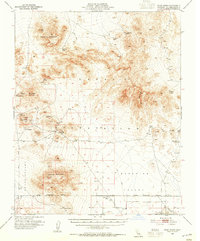
1954 · Pilot Knob
USGS Topo · 1:62,500
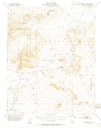
1954 · Cuddeback Lake
USGS Topo · 1:62,500
1955 · Opal Mountain
USGS Topo · 1:62,500
1956 · Fremont Peak
USGS Topo · 1:62,500

1957 · Trona
USGS Topo · 1:250,000
1960 · Trona
USGS Topo · 1:250,000