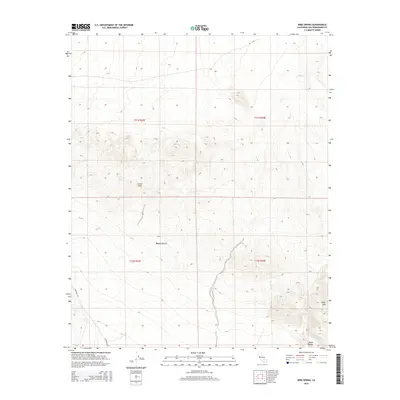
2015 Map of Bird Spring
USGS Topo · Published 2015About this map
Bird Spring serves as a vital water point within the arid landscape of the northwestern Mojave Desert. The terrain is defined by the high elevations of Black Mtn in the southeast and the expansive Gravel Hills to the west. This 2015 survey illustrates the modern isolation of the San Bernardino County backcountry, where Black Canyon cuts through the volcanic and sedimentary formations. Transport through this remote section of the High Desert is limited to graded paths like Hoffman Rd and Lockhart Rd, reflecting the long-standing land use patterns in an area where water sources like the spring have historically dictated travel and survival. The map provides clear detail for those tracing the physical geography and the sparse network of desert tracks that connect these landmarks.
Find a feature on this map
11 named features on this map. Tap any name to fly to it.
Don’t see what you’re looking for? This feature index may not catch every label — zoom into the map to look around manually.
Map Details
Editions of this 2015 Bird Spring Map
This is the sole edition of this map. No revisions or reprints were ever made.
Other maps of this area
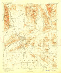
1915 · Searles Lake
USGS Topo · 1:250,000

1947 · Trona
USGS Topo · 1:250,000

1948 · Trona
USGS Topo · 1:250,000

1953 · Trona
USGS Topo · 1:250,000
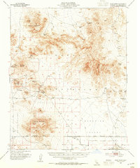
1954 · Pilot Knob
USGS Topo · 1:62,500
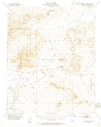
1954 · Cuddeback Lake
USGS Topo · 1:62,500
1955 · Opal Mountain
USGS Topo · 1:62,500
1956 · Fremont Peak
USGS Topo · 1:62,500

1957 · Trona
USGS Topo · 1:250,000
1960 · Trona
USGS Topo · 1:250,000