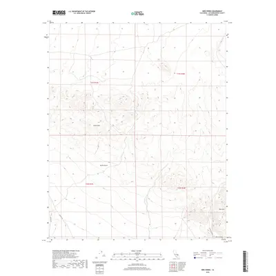
2018 Map of Bird Spring
USGS Topo · Published 2018About this map
Bird Spring serves as a critical water point in this arid stretch of the northwestern Mojave Desert. The landscape is dominated by the prominent elevations of the Gravel Hills and the volcanic profile of Black Mtn, which overlooks the deep incision of Black Canyon in the southeast. This 2018 survey illustrates the sparse infrastructure of the region, where travel is dictated by a few established desert routes like Lockhart Rd and Hoffman Rd. The map provides a clear look at the public land survey system grid across these townships, capturing the intersection of natural desert topography and the jurisdictional boundaries that define the high desert of San Bernardino County.
Find a feature on this map
12 named features on this map. Tap any name to fly to it.
Don’t see what you’re looking for? This feature index may not catch every label — zoom into the map to look around manually.
Map Details
Editions of this 2018 Bird Spring Map
This is the sole edition of this map. No revisions or reprints were ever made.
Other maps of this area
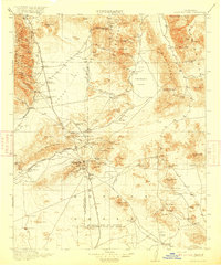
1915 · Searles Lake
USGS Topo · 1:250,000

1947 · Trona
USGS Topo · 1:250,000

1948 · Trona
USGS Topo · 1:250,000

1953 · Trona
USGS Topo · 1:250,000
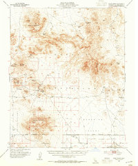
1954 · Pilot Knob
USGS Topo · 1:62,500
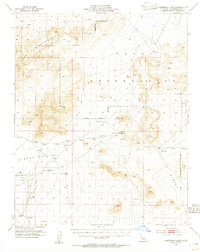
1954 · Cuddeback Lake
USGS Topo · 1:62,500
1955 · Opal Mountain
USGS Topo · 1:62,500
1956 · Fremont Peak
USGS Topo · 1:62,500

1957 · Trona
USGS Topo · 1:250,000
1960 · Trona
USGS Topo · 1:250,000