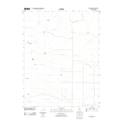
2012 Map of Bird Valley
USGS Topo · Published 2012About this map
Buckhorn Camp sits at the northern reaches of this Yolo County landscape, where the northern Capay Hills meet a complex network of seasonal drainages. The area is defined by its deep eastern canyons, including Bob Walker Canyon, Burger Canyon, and Tut Canyon, which channel water from the high ground of Bald Mountain toward the agricultural plains. To the south, the terrain flattens significantly near Goodnow Slough, revealing a transition from the wooded uplands of Wood Canyon to the structured grid of county roads.
Find a feature on this map
34 named features on this map. Tap any name to fly to it.
Don’t see what you’re looking for? This feature index may not catch every label — zoom into the map to look around manually.
Map Details
Editions of this 2012 Bird Valley Map
This is the sole edition of this map. No revisions or reprints were ever made.
Other maps of this area

1905 · Harrington
USGS Topo · 1:24,000

1905 · Esparto
USGS Topo · 1:24,000

1907 · Dunnigan
USGS Topo · 1:62,500

1907 · Woodland
USGS Topo · 1:62,500

1916 · Jacobs Corner
USGS Topo · 1:31,680

1916 · Harrington
USGS Topo · 1:31,680

1916 · Hershey
USGS Topo · 1:31,680

1916 · Zamora
USGS Topo · 1:31,680

1916 · Esparto
USGS Topo · 1:31,680

1924 · Capay
USGS Topo · 1:62,500