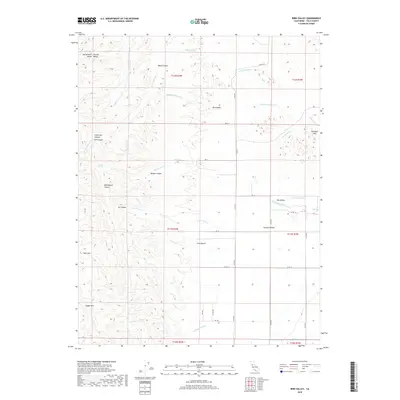
2018 Map of Bird Valley
USGS Topo · Published 2018About this map
Sacramento Valley and Central Valley geography defines this portion of Yolo County, where the eastern slopes of the Capay Hills meet the valley floor. The landscape is deeply incised by a series of drainages, including N Fork Bird Cr and Goodnow Slough, which flow through prominent local depressions such as Hungry Hollow and Bird Valley. This terrain is characterized by numerous named canyons that cut through the higher elevations, including Bob Walker Canyon, Tut Canyon, and Burger Canyon. The presence of Sulphur Spring and peaks like Bold Mtn suggests a varied geological profile typical of the region's western margin. Infrastructure is primarily confined to a grid of local county roads, such as Co HWY e4 and Co RD 85, which navigate the transitional space between the agricultural valley and the uplifted Dunnigan Hills.
Find a feature on this map
46 named features on this map. Tap any name to fly to it.
Don’t see what you’re looking for? This feature index may not catch every label — zoom into the map to look around manually.
Map Details
Editions of this 2018 Bird Valley Map
This is the sole edition of this map. No revisions or reprints were ever made.
Other maps of this area
1905 · Harrington
USGS Topo · 1:24,000
1905 · Esparto
USGS Topo · 1:24,000
1907 · Dunnigan
USGS Topo · 1:62,500
1907 · Woodland
USGS Topo · 1:62,500
1916 · Jacobs Corner
USGS Topo · 1:31,680
1916 · Harrington
USGS Topo · 1:31,680
1916 · Hershey
USGS Topo · 1:31,680
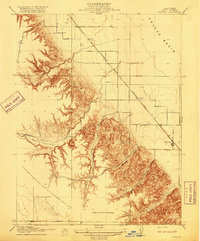
1916 · Zamora
USGS Topo · 1:31,680
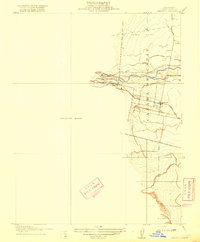
1916 · Esparto
USGS Topo · 1:31,680
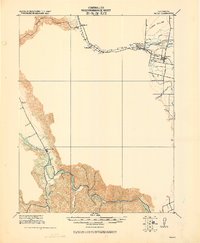
1924 · Capay
USGS Topo · 1:62,500