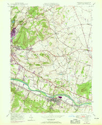
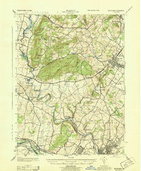
1947 Map of Birdsboro
USGS Topo · Published 1969About this map
The Schuylkill River corridor in Berks County anchors this postwar portrait of Pennsylvania’s industrial and agricultural heartland. Birdsboro stands as the primary hub at the southern edge, where the Reading and Penn Central railroads track alongside the river and the remnants of the old canal system. The landscape north of the river transitions into a rolling quilt of family-named ridges and small settlements, including the Daniel Boone Homestead near Baumstown.
Find a feature on this map
72 named features on this map. Tap any name to fly to it.
Don’t see what you’re looking for? This feature index may not catch every label — zoom into the map to look around manually.
Map Details
Editions of this 1947 Birdsboro Map
4 editions found
Other maps of this area

1894 · Reading
USGS Topo · 1:62,500

1902 · Boyertown
USGS Topo · 1:62,500

1905 · Honey Brook
USGS Topo · 1:62,500

1906 · Phoenixville
USGS Topo · 1:62,500

1907 · Honeybrook
USGS Topo · 1:62,500

1913 · Reading
USGS Topo · 1:62,500

1915 · Reading
USGS Topo · 1:62,500

1941 · Honeybrook
USGS Topo · 1:62,500

1943 · Manatawny
USGS Topo · 1:31,680
1943 · Boyertown
USGS Topo · 1:31,680
Featured Places
- Birdsboro, PA
- Oley Township, PA
- Village of Jacksonwald, Exeter Township
- Union Township, PA
- St. Lawrence, PA