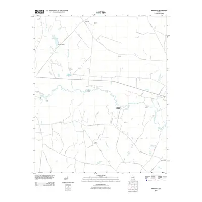
2011 Map of Birdsville
USGS Topo · Published 2011About this map
The Ogeechee River snakes through the center of this Jenkins County landscape, defining the character of the region with its various crossings and riverfront landmarks. Near Rogers, the river features Rogers Crossing, while further downstream, local access points like Bennetts Landing, Kents Landing, and Lane Landing illustrate the enduring importance of the waterway for transport and recreation. To the north, the water management history of the area is evident in the Brinson Lake Dam and the Chew Millpond Dam, which control the flow of Chew Mill Creek.
Find a feature on this map
64 named features on this map. Tap any name to fly to it.
Don’t see what you’re looking for? This feature index may not catch every label — zoom into the map to look around manually.
Map Details
Editions of this 2011 Birdsville Map
This is the sole edition of this map. No revisions or reprints were ever made.
Other maps of this area

1920 · Millen
USGS Topo · 1:62,500

1921 · Rocky Ford
USGS Topo · 1:62,500

1943 · Rocky Ford
USGS Topo · 1:62,500

1943 · Millen
USGS Topo · 1:62,500

1943 · Millen
USGS Topo · 1:125,000

1947 · Savannah
USGS Topo · 1:250,000

1948 · Savannah
USGS Topo · 1:250,000

1957 · Macon
USGS Topo · 1:250,000

1957 · Savannah
USGS Topo · 1:250,000

1958 · Macon
USGS Topo · 1:250,000