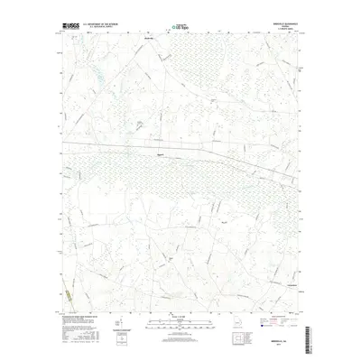
2017 Map of Birdsville
USGS Topo · Published 2017About this map
The Ogeechee River meanders through the heart of this landscape, its wide floodplain punctuated by points like Blue Springs and Felix Lndg. Settlements such as Birdsville and Rogers reflect the rural heritage of Jenkins County, where local life has long centered on the waterways and agricultural lands. The topography reveals significant hydrological features, including the Big Sink and the expansive Chew Millpond, fed by Chew Mill Creek. These water bodies and the surrounding drainage of Cypress Creek speak to the region's historical reliance on milling and water access. For genealogists, the map identifies several local burial grounds, including Williams Grove Cem, Wiggens Cem, and Anderson Cem, which serve as quiet markers of the families who settled this part of Georgia between the Ogeechee and the Emanuel County line.
Find a feature on this map
73 named features on this map. Tap any name to fly to it.
Don’t see what you’re looking for? This feature index may not catch every label — zoom into the map to look around manually.
Map Details
Editions of this 2017 Birdsville Map
This is the sole edition of this map. No revisions or reprints were ever made.
Other maps of this area

1920 · Millen
USGS Topo · 1:62,500

1921 · Rocky Ford
USGS Topo · 1:62,500

1943 · Rocky Ford
USGS Topo · 1:62,500

1943 · Millen
USGS Topo · 1:62,500

1943 · Millen
USGS Topo · 1:125,000

1947 · Savannah
USGS Topo · 1:250,000

1948 · Savannah
USGS Topo · 1:250,000

1957 · Macon
USGS Topo · 1:250,000

1957 · Savannah
USGS Topo · 1:250,000

1958 · Macon
USGS Topo · 1:250,000