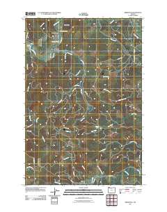
2011 Map of Birkenfeld
USGS Topo · Published 2011About this map
The Nehalem River winds through the northern reaches of this landscape, anchoring a series of small settlements and river crossings. This 2011 survey documents the rural character of Columbia County, where the community of Birkenfeld is marked by the Birkenfeld Post Office and the crossing at Birkenfeld Bridge. Further west, the map records the locations of Neverstill and Vesper, including the site of the Vesper School.
Find a feature on this map
44 named features on this map. Tap any name to fly to it.
Don’t see what you’re looking for? This feature index may not catch every label — zoom into the map to look around manually.
Map Details
Editions of this 2011 Birkenfeld Map
This is the sole edition of this map. No revisions or reprints were ever made.
Other maps of this area

1919 · Mayger
USGS Topo · 1:62,500

1940 · Vernonia
USGS Topo · 1:62,500

1941 · Keasey
USGS Topo · 1:62,500

1941 · Clatskanie
USGS Topo · 1:62,500

1941 · Cathlamet
USGS Topo · 1:62,500

1943 · Vernonia
USGS Topo · 1:62,500

1943 · Keasey
USGS Topo · 1:62,500

1948 · Vancouver
USGS Topo · 1:250,000

1950 · Vancouver
USGS Topo · 1:250,000

1950 · Vancouver
USGS Topo · 1:250,000