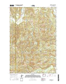
2017 Map of Birkenfeld
USGS Topo · Published 2017About this map
The Nehalem Valley serves as the primary corridor for settlement in this part of Columbia County, where the Nehalem River winds through the landscape. The small community of Birkenfeld is a central point of interest, marked by the Birkenfeld Bridge and the intersection of Neverstill Rd. To the northeast, the settlement of Mist sits near the confluence of several drainages, illustrating the historical importance of these river bottoms for habitation and travel in the coast range.
Find a feature on this map
49 named features on this map. Tap any name to fly to it.
Don’t see what you’re looking for? This feature index may not catch every label — zoom into the map to look around manually.
Map Details
Editions of this 2017 Birkenfeld Map
This is the sole edition of this map. No revisions or reprints were ever made.
Other maps of this area
1919 · Mayger
USGS Topo · 1:62,500
1940 · Vernonia
USGS Topo · 1:62,500
1941 · Keasey
USGS Topo · 1:62,500
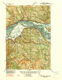
1941 · Clatskanie
USGS Topo · 1:62,500
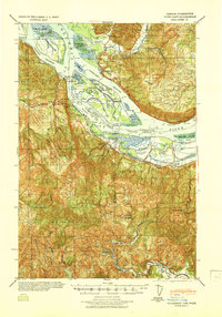
1941 · Cathlamet
USGS Topo · 1:62,500
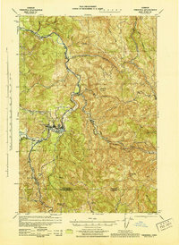
1943 · Vernonia
USGS Topo · 1:62,500
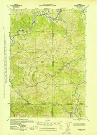
1943 · Keasey
USGS Topo · 1:62,500

1948 · Vancouver
USGS Topo · 1:250,000
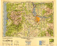
1950 · Vancouver
USGS Topo · 1:250,000
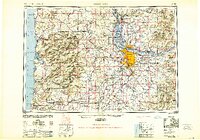
1950 · Vancouver
USGS Topo · 1:250,000