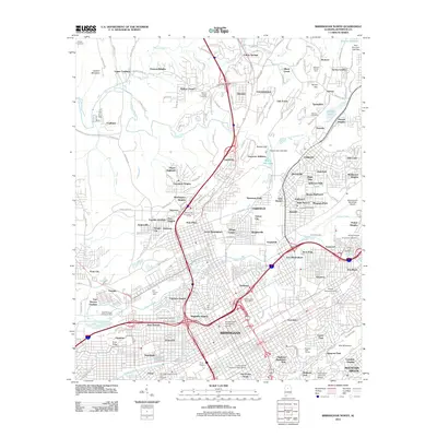
2011 Map of Birmingham North
USGS Topo · Published 2011About this map
The sprawling footprint of Birmingham dominates this 2011 survey, showing the city's complex industrial and residential landscape north of Red Mountain. The map details the transition from the dense urban grid near the University of Alabama Birmingham and the Birmingham Post Office to the diverse industrial and transportation hubs surrounding East Thomas Yards and Village Creek. Notable for local history and genealogy, the sheet labels numerous historic burial grounds including Oak Hill Cemetery, Knesses Israel Cemetery, and Greenwood Cemetery. Beyond the city center, the landscape includes the working-class settlements and established neighborhoods of Fultondale, Tarrant, and Sayreton. Legacy landmarks like the Arlington Historic House and Gardens stand alongside major regional infrastructure such as the Birmingham Municipal Airport and the corridor of Fivemile Creek.
Find a feature on this map
153 named features on this map. Tap any name to fly to it.
Don’t see what you’re looking for? This feature index may not catch every label — zoom into the map to look around manually.
Map Details
Editions of this 2011 Birmingham North Map
This is the sole edition of this map. No revisions or reprints were ever made.
Other maps of this area

1889 · Birmingham
USGS Topo · 1:125,000

1890 · Bessemer
USGS Topo · 1:125,000

1892 · Birmingham
USGS Topo · 1:125,000

1892 · Bessemer
USGS Topo · 1:125,000

1895 · Birmingham
USGS Topo · 1:125,000

1904 · Birmingham Coal District
USGS Topo · 1:62,500

1905 · Bessemer Iron District
USGS Topo · 1:62,500

1905 · Leeds
USGS Topo · 1:62,500

1906 · Birmingham Special
USGS Topo · 1:62,500

1906 · Vandiver
USGS Topo · 1:62,500