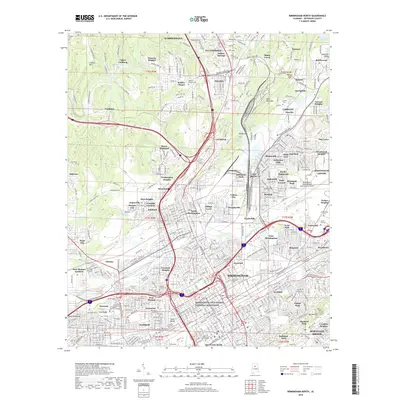
2018 Map of Birmingham North
USGS Topo · Published 2018About this map
The Birmingham Civil Rights National Monument stands as a focal point in this urban landscape, marking a district central to the American Civil Rights Movement. The map details a dense corridor of industrial and residential growth, stretching from the central business district through Inglenook and Tarrant toward the northern suburban reaches of Gardendale. Heavy infrastructure is a defining characteristic, with the L&N RR and Seaboard RR corridors cutting through the terrain alongside the sprawling Birmingham-Shuttlesworth International Airport.
Find a feature on this map
146 named features on this map. Tap any name to fly to it.
Don’t see what you’re looking for? This feature index may not catch every label — zoom into the map to look around manually.
Map Details
Editions of this 2018 Birmingham North Map
This is the sole edition of this map. No revisions or reprints were ever made.
Other maps of this area

1889 · Birmingham
USGS Topo · 1:125,000

1890 · Bessemer
USGS Topo · 1:125,000

1892 · Birmingham
USGS Topo · 1:125,000

1892 · Bessemer
USGS Topo · 1:125,000

1895 · Birmingham
USGS Topo · 1:125,000

1904 · Birmingham Coal District
USGS Topo · 1:62,500

1905 · Bessemer Iron District
USGS Topo · 1:62,500

1905 · Leeds
USGS Topo · 1:62,500

1906 · Birmingham Special
USGS Topo · 1:62,500

1906 · Vandiver
USGS Topo · 1:62,500