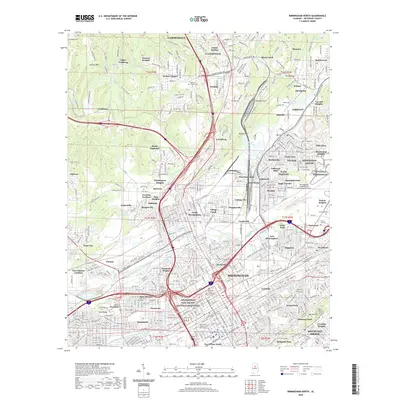
2020 Map of Birmingham North
USGS Topo · Published 2020About this map
The Birmingham Civil Rights National Monument stands as a central landmark in this 2020 layout of Alabama's most populous city, marking a landscape deeply shaped by both its industrial origins and social history. The map detail reflects the transition from the heavy industrial zones of the north, including Upper Coalburg and the rail corridors through Boyles Gap, to the modern urban institutional footprint of the University of Alabama at Birmingham.
Find a feature on this map
115 named features on this map. Tap any name to fly to it.
Don’t see what you’re looking for? This feature index may not catch every label — zoom into the map to look around manually.
Map Details
Editions of this 2020 Birmingham North Map
This is the sole edition of this map. No revisions or reprints were ever made.
Other maps of this area

1889 · Birmingham
USGS Topo · 1:125,000

1890 · Bessemer
USGS Topo · 1:125,000

1892 · Birmingham
USGS Topo · 1:125,000

1892 · Bessemer
USGS Topo · 1:125,000

1895 · Birmingham
USGS Topo · 1:125,000

1904 · Birmingham Coal District
USGS Topo · 1:62,500

1905 · Bessemer Iron District
USGS Topo · 1:62,500

1905 · Leeds
USGS Topo · 1:62,500

1906 · Birmingham Special
USGS Topo · 1:62,500

1906 · Vandiver
USGS Topo · 1:62,500