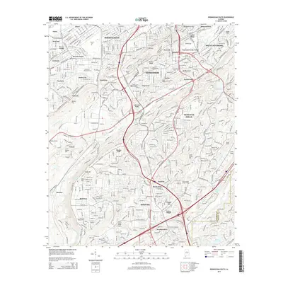
2014 Map of Birmingham South
USGS Topo · Published 2014About this map
Red Mountain and the parallel ridges of the Appalachian foothills define the urban and suburban layout of southern Birmingham during this mid-2010s survey. The landscape is characterized by established neighborhoods like English Village, Hollywood, and Homewood that follow the contours of Shades Valley. The presence of several gaps in the ridges, such as Graces Gap and Walker Gap, illustrates the historic corridors used for transportation and utility between the valley floor and the heights of Shades Mountain.
Find a feature on this map
108 named features on this map. Tap any name to fly to it.
Don’t see what you’re looking for? This feature index may not catch every label — zoom into the map to look around manually.
Map Details
Editions of this 2014 Birmingham South Map
This is the sole edition of this map. No revisions or reprints were ever made.
Other maps of this area

1889 · Birmingham
USGS Topo · 1:125,000

1890 · Bessemer
USGS Topo · 1:125,000

1892 · Birmingham
USGS Topo · 1:125,000

1892 · Bessemer
USGS Topo · 1:125,000

1895 · Birmingham
USGS Topo · 1:125,000

1904 · Birmingham Coal District
USGS Topo · 1:62,500

1905 · Bessemer Iron District
USGS Topo · 1:62,500

1905 · Leeds
USGS Topo · 1:62,500

1906 · Birmingham Special
USGS Topo · 1:62,500

1906 · Vandiver
USGS Topo · 1:62,500