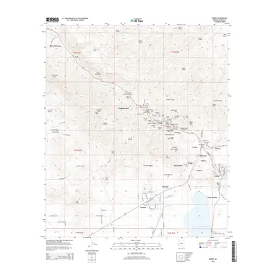
2014 Map of Bisbee
USGS Topo · Published 2014About this map
The Bisbee mining district and its surrounding peaks dominate this landscape, illustrating the intricate network of residential neighborhoods and industrial sites that define the area's legacy. Heavy development is concentrated along the canyons, where names like Lowell, Warren, Bakerville, and South Bisbee mark the historic expansion of the copper mining economy. High points such as Fissure Peak and Mt Ballard overlook the town and the massive Wade Hampton Pit, a visible reminder of the area's geological extraction history. To the north, the Mule Mountains rise above Mule Pass, while the southern portion of the map transitions into the valley near Corta Junction and the Bisbee Municipal Airport. The complex road network, including the Mule Pass Tunnel and Az-80, connects these pocketed settlements across the rugged southern Arizona terrain.
Find a feature on this map
143 named features on this map. Tap any name to fly to it.
Don’t see what you’re looking for? This feature index may not catch every label — zoom into the map to look around manually.
Map Details
Editions of this 2014 Bisbee Map
This is the sole edition of this map. No revisions or reprints were ever made.
Other maps of this area

1902 · Bisbee
USGS Topo · 1:62,500

1910 · Bisbee
USGS Topo · 1:62,500

1914 · Hereford
USGS Topo · 1:125,000

1915 · Benson
USGS Topo · 1:125,000

1916 · Pearce
USGS Topo · 1:125,000

1916 · Douglas
USGS Topo · 1:125,000

1919 · Douglas
USGS Topo · 1:125,000

1925 · Gleeson
USGS Topo · 1:62,500

1927 · Bisbee
USGS Topo · 1:62,500

1932 · Stark
USGS Topo · 1:62,500