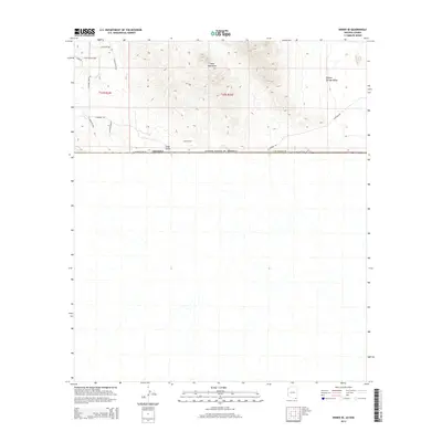
2014 Map of Bisbee SE
USGS Topo · Published 2014About this map
The Mule Mountains dominate the northern terrain of this borderlands survey, giving way to the expansive Sulphur Springs Valley in the northeast. This landscape reflects the intersection of international boundaries and historical mining activity, most notably represented by the Crook Tunnel positioned near Gold Gulch. The southern half of the map is defined by the stark delineation of the Arizona border with the United States of America line, where E International Rd and W International Rd trace the physical limit of the territory. Local infrastructure in the northwest, including E Beechcraft Blvd and S Gold Gulch Rd, hints at residential or ranching development near the mountain foothills.
Find a feature on this map
20 named features on this map. Tap any name to fly to it.
Don’t see what you’re looking for? This feature index may not catch every label — zoom into the map to look around manually.
Map Details
Editions of this 2014 Bisbee SE Map
This is the sole edition of this map. No revisions or reprints were ever made.
Other maps of this area
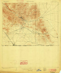
1902 · Bisbee
USGS Topo · 1:62,500
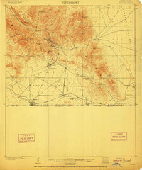
1910 · Bisbee
USGS Topo · 1:62,500
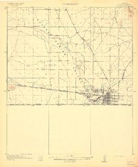
1914 · Douglas
USGS Topo · 1:62,500
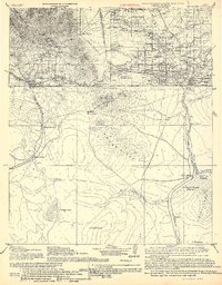
1916 · Douglas
USGS Topo · 1:125,000
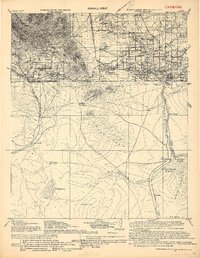
1919 · Douglas
USGS Topo · 1:125,000
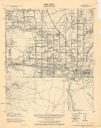
1925 · Douglas
USGS Topo · 1:62,500
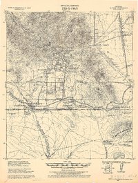
1927 · Bisbee
USGS Topo · 1:62,500
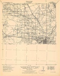
1933 · Douglas
USGS Topo · 1:62,500
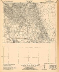
1933 · Bisbee
USGS Topo · 1:62,500
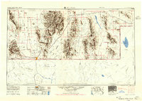
1955 · Douglas
USGS Topo · 1:250,000