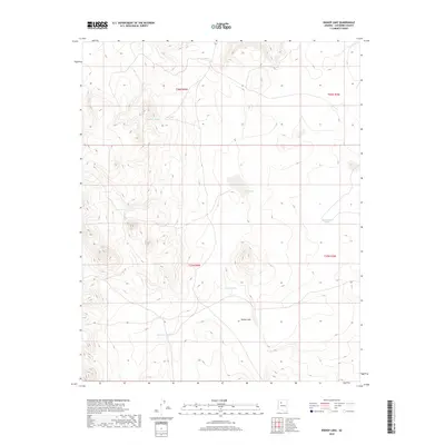
2018 Map of Bishop Lake
USGS Topo · Published 2018About this map
Bishop Lake and a series of high-altitude ephemeral basins define this high-desert landscape in Coconino County. The map captures a topography shaped by seasonal water management, as evidenced by several named "tanks" or livestock reservoirs. These features, such as Abshires Tank, Sellers Tank, and Schafers Tank, likely represent family names tied to the historical ranching operations that have long dominated this portion of northern Arizona. The presence of Tule Lake and Montezuma Lake indicates areas where natural depressions collect runoff, creating distinct ecological points in the arid terrain. The arrangement of these water sources across the public land survey grid highlights the intersection of natural hydrology and the systematic division of western lands during the 21st century.
Find a feature on this map
11 named features on this map. Tap any name to fly to it.
Don’t see what you’re looking for? This feature index may not catch every label — zoom into the map to look around manually.
Map Details
Editions of this 2018 Bishop Lake Map
This is the sole edition of this map. No revisions or reprints were ever made.
Other maps of this area
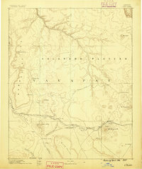
1886 · Chino
USGS Topo · 1:250,000
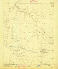
1891 · Chino
USGS Topo · 1:250,000
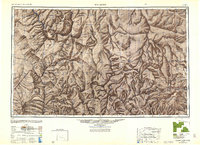
1948 · Williams
USGS Topo · 1:250,000
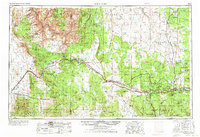
1954 · Williams
USGS Topo · 1:250,000
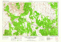
1956 · Williams
USGS Topo · 1:250,000
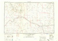
1960 · Williams
USGS Topo · 1:250,000
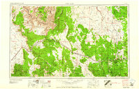
1961 · Williams
USGS Topo · 1:250,000
1973 · Mount Floyd
USGS Topo · 1:24,000
1973 · Eagle Nest Mtn
USGS Topo · 1:24,000
1980 · Tin House
USGS Topo · 1:24,000