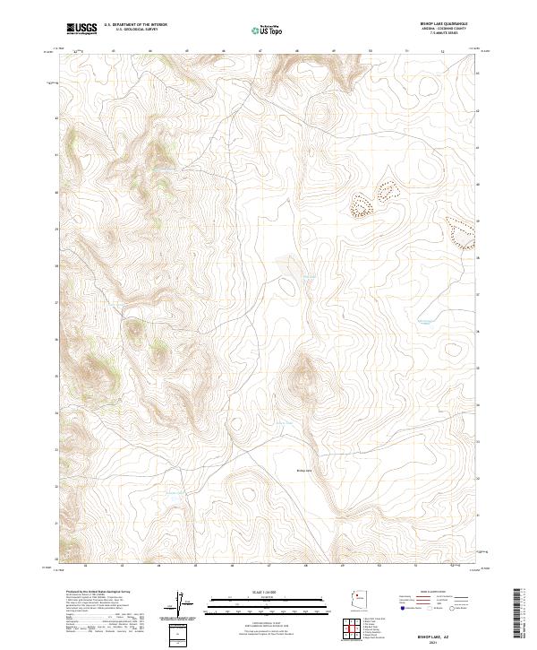
2021 Map of Bishop Lake
USGS Topo · Published 2021About this map
Bishop Lake sits at the heart of this Coconino County terrain, characterized by a sparse but vital network of water catchment features essential for land use in this arid region. The landscape is defined by its topographic variations and the critical presence of tanks and lakes that historically supported local ranching and transit. Named features like Abshires Tank, Schafers Tank, and Sellers Tank reflect the imprint of specific individuals and families on the geography of northern Arizona. The larger water bodies, Tule Lake and Montezuma Lake, provide distinct landmarks within the t25n r4w and t26n r3w township and range grids. This 2021 survey offers a contemporary look at these enduring geographic markers, showing how the natural hydrology and human-made tanks remain the primary points of orientation in an otherwise open landscape.
Find a feature on this map
11 named features on this map. Tap any name to fly to it.
Don’t see what you’re looking for? This feature index may not catch every label — zoom into the map to look around manually.
Map Details
Editions of this 2021 Bishop Lake Map
This is the sole edition of this map. No revisions or reprints were ever made.
Other maps of this area

1886 · Chino
USGS Topo · 1:250,000

1891 · Chino
USGS Topo · 1:250,000

1948 · Williams
USGS Topo · 1:250,000

1954 · Williams
USGS Topo · 1:250,000

1956 · Williams
USGS Topo · 1:250,000

1960 · Williams
USGS Topo · 1:250,000

1961 · Williams
USGS Topo · 1:250,000
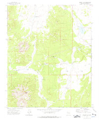
1973 · Mount Floyd
USGS Topo · 1:24,000
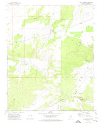
1973 · Eagle Nest Mtn
USGS Topo · 1:24,000
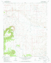
1980 · Tin House
USGS Topo · 1:24,000