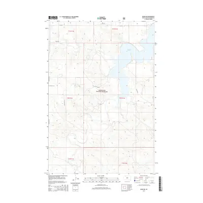
2015 Map of Bison NE
USGS Topo · Published 2015About this map
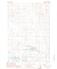
Grand River National Grassland dominates this portion of Perkins County, where the high plains landscape is defined by the winding course of the South Fork Grand River. The topography is marked by significant drainages including Lodgepole Cr and Butcher Cr, which feed into the large Shadehill Reservoir in the northeast. This 2015 update reflects a sparsely settled ranching landscape where local history is anchored by small, remote burial sites. Genealogists and local historians can locate the Norwegian Cem near the western boundary and the Sein Cem situated centrally within the grassland. The grid of section lines and rural routes like Pleasant Ridge Rd and Bald Butte Rd provide the primary framework for navigating this expansive territory.
Find a feature on this map
18 named features on this map. Tap any name to fly to it.
Don’t see what you’re looking for? This feature index may not catch every label — zoom into the map to look around manually.
Map Details
Editions of this 2015 Bison NE Map
This is the sole edition of this map. No revisions or reprints were ever made.
Other maps of this area

1954 · Lemmon
USGS Topo · 1:250,000

1957 · Lemmon
USGS Topo · 1:250,000
1983 · Haynes SE
USGS Topo · 1:24,000
1983 · Boxcar Buttes
USGS Topo · 1:24,000
1983 · Bison
USGS Topo · 1:24,000
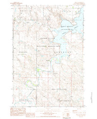
1983 · Bison NE
USGS Topo · 1:24,000
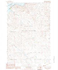
1983 · Meadow NW
USGS Topo · 1:24,000
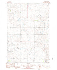
1983 · Meadow
USGS Topo · 1:24,000
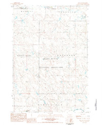
1983 · Bison NW
USGS Topo · 1:24,000
1983 · Sommerville
USGS Topo · 1:24,000