
1973 Map of Bitter Well Mountain NW
USGS Topo · Published 1976About this map
Hydrological survival in the arid high desert of West Texas defines the landscape of the Hudspeth and Culberson County border. This survey reveals a terrain dominated by a massive, unnamed depression that stretches across the quadrangle, serving as a catchment area for the region's sparse rainfall. The human presence is almost entirely tethered to these water sources, marked by family-named or descriptively titled locations such as Soda Wells, Black John Well, and the evocatively named Hardluck Well.
Find a feature on this map
10 named features on this map. Tap any name to fly to it.
Don’t see what you’re looking for? This feature index may not catch every label — zoom into the map to look around manually.
Map Details
Editions of this 1973 Bitter Well Mountain NW Map
This is the sole edition of this map. No revisions or reprints were ever made.
Other maps of this area

1933 · Guadalupe Peak
USGS Topo · 1:48,000

1940 · Guadalupe Peak
USGS Topo · 1:62,500

1951 · Dell City
USGS Topo · 1:62,500

1954 · Van Horn
USGS Topo · 1:250,000

1955 · Black Mountains
USGS Topo · 1:62,500

1958 · Van Horn
USGS Topo · 1:250,000

1973 · Bitter Well Mountain SW
USGS Topo · 1:24,000

1973 · Bitter Well Mountain
USGS Topo · 1:24,000
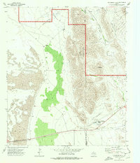
1973 · Patterson Hills
USGS Topo · 1:24,000
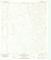
1973 · Six Bar Ranch
USGS Topo · 1:24,000