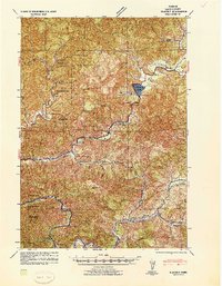
1941 Map of Blachly
USGS Topo · Published 1941About this map
The Siuslaw National Forest dominates this 1941 tactical survey, revealing the early 20th-century industrial landscape of the Oregon Coast Range. Timber and transport are the primary drivers of settlement here, anchored by operations like the Triangle Lumber Co and the Shotgun Sawmill. One of the most striking historical markers is the Logging Flume (Abandoned) located near the eastern edge, a remnant of older water-based timber transport methods that were being superseded by rail and road during this era.
Find a feature on this map
58 named features on this map. Tap any name to fly to it.
Don’t see what you’re looking for? This feature index may not catch every label — zoom into the map to look around manually.
Map Details
Editions of this 1941 Blachly Map
This is the sole edition of this map. No revisions or reprints were ever made.
Other maps of this area
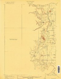
1909 · Elmira
USGS Topo · 1:62,500
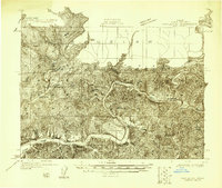
1918 · Mapleton
USGS Topo · 1:48,000
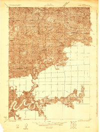
1919 · Earl
USGS Topo · 1:48,000
1922 · Monroe
USGS Topo · 1:62,500
1922 · Elmira
USGS Topo · 1:62,500
1939 · Monroe
USGS Topo · 1:62,500
1940 · Mapleton
USGS Topo · 1:62,500
1942 · Alsea
USGS Topo · 1:62,500
1942 · Elmira
USGS Topo · 1:62,500
1942 · Blachly
USGS Topo · 1:62,500