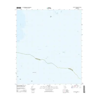
2015 Map of Black Bay North
USGS Topo · Published 2015About this map
Gallega Island and Grise Bourbe Island anchor the coastal marshlands in this coastal stretch where the Gulf of Mexico meets the labyrinthine waterways of southern Louisiana. The landscape is defined by an intricate network of saline lakes and bayous, including the expansive Lake Machias and Lake Fortuna to the east, and the namesake Black Bay to the south. This environment reflects the fluid transition between land and sea, where landforms like Grand Coquille Point and Grassy Point are essentially defined by the water surrounding them.
Find a feature on this map
26 named features on this map. Tap any name to fly to it.
Don’t see what you’re looking for? This feature index may not catch every label — zoom into the map to look around manually.
Map Details
Editions of this 2015 Black Bay North Map
This is the sole edition of this map. No revisions or reprints were ever made.
Other maps of this area

1893 · La Fortuna
USGS Topo · 1:62,500

1893 · Shell Beach
USGS Topo · 1:62,500

1893 · Dime
USGS Topo · 1:62,500

1895 · Bodreau
USGS Topo · 1:62,500

1935 · Lake Athanasio
USGS Topo · 1:31,680

1935 · Lake Calebasse
USGS Topo · 1:31,680

1939 · Shell Beach
USGS Topo · 1:62,500

1941 · Black Bay
USGS Topo · 1:62,500

1941 · Shell Beach
USGS Topo · 1:62,500
1944 · Black Bay
USGS Topo · 1:62,500