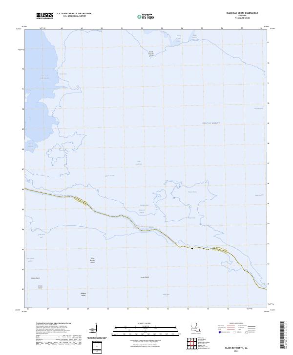
2024 Map of Black Bay North
USGS Topo · Published 2024About this map
Bayou Terre Aux Boeufs snakes across this coastal landscape, serving as the definitive border between St. Bernard Parish and Plaquemines Parish. This marine environment is dominated by the vast waters of the Gulf of Mexico and Black Bay, where the transition from solid ground to open water is marked by a complex network of marshes and named islands.
Find a feature on this map
26 named features on this map. Tap any name to fly to it.
Don’t see what you’re looking for? This feature index may not catch every label — zoom into the map to look around manually.
Map Details
Editions of this 2024 Black Bay North Map
This is the sole edition of this map. No revisions or reprints were ever made.
Other maps of this area

1893 · La Fortuna
USGS Topo · 1:62,500

1893 · Shell Beach
USGS Topo · 1:62,500

1893 · Dime
USGS Topo · 1:62,500

1895 · Bodreau
USGS Topo · 1:62,500

1935 · Lake Athanasio
USGS Topo · 1:31,680

1935 · Lake Calebasse
USGS Topo · 1:31,680

1939 · Shell Beach
USGS Topo · 1:62,500

1941 · Black Bay
USGS Topo · 1:62,500

1941 · Shell Beach
USGS Topo · 1:62,500
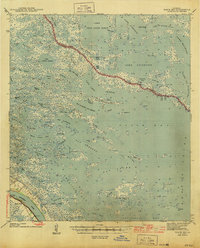
1944 · Black Bay
USGS Topo · 1:62,500