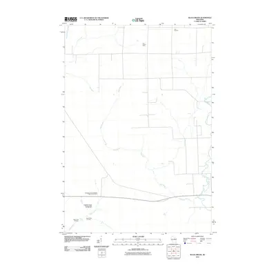
2010 Map of Black Brook
USGS Topo · Published 2010About this map
The Vilas Lookout Tower stands as a prominent navigational landmark in this north-central Wisconsin landscape, where the geography is defined by a complex network of streams and man-made water management features. The terrain is drained by several significant watercourses, including the winding path of Black Brook, the Pine River, and the West Branch Eau Claire River. To the south, the influence of hydraulic engineering is evident through a series of named dams such as the Langlade County Flowage Dam and several private or municipal structures like the Motl 2 Dam. For local historians and genealogists, the Peck Cemetery in the northern reaches provides a specific point of interest for family research. This digital-era survey illustrates how modern infrastructure and water control projects intersect with the natural drainage basins of Lloyd Creek and the Trappe River.
Find a feature on this map
12 named features on this map. Tap any name to fly to it.
Don’t see what you’re looking for? This feature index may not catch every label — zoom into the map to look around manually.
Map Details
Editions of this 2010 Black Brook Map
This is the sole edition of this map. No revisions or reprints were ever made.
Other maps of this area

1899 · Wausau
USGS Topo · 1:125,000

1902 · Wausau
USGS Topo · 1:125,000

1940 · Parrish
USGS Topo · 1:48,000

1942 · Elcho
USGS Topo · 1:48,000

1950 · Elcho
USGS Topo · 1:48,000

1950 · Parrish
USGS Topo · 1:48,000

1951 · Doering
USGS Topo · 1:48,000

1952 · Parrish
USGS Topo · 1:48,000

1952 · Antigo
USGS Topo · 1:48,000

1954 · Iron Mountain
USGS Topo · 1:250,000