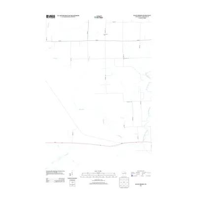
2013 Map of Black Brook
USGS Topo · Published 2013About this map
The Vilas Lookout Tower stands as a prominent landmark in this forested region of northern Wisconsin, positioned along Rangeline Rd in a landscape defined by an intricate network of waterways. The drainage pattern here is complex, featuring the Black Brook as it meanders southward toward its confluence near Wi-64. To the east, the West Branch Eau Claire River and the W Br Eau Claire River carve through the terrain, while the Pine River and Lloyd Cr dominate the northwestern sector. This 2013 survey illustrates a sparsely populated rural area where transportation is primarily dictated by a grid of local routes like Co Hwy-C and Co Hwy-H. The map captures the quiet character of the Wisconsin woods, emphasizing the natural topography and the essential road corridors that connect these remote drainage basins.
Find a feature on this map
23 named features on this map. Tap any name to fly to it.
Don’t see what you’re looking for? This feature index may not catch every label — zoom into the map to look around manually.
Map Details
Editions of this 2013 Black Brook Map
This is the sole edition of this map. No revisions or reprints were ever made.
Other maps of this area

1899 · Wausau
USGS Topo · 1:125,000

1902 · Wausau
USGS Topo · 1:125,000

1940 · Parrish
USGS Topo · 1:48,000

1942 · Elcho
USGS Topo · 1:48,000

1950 · Elcho
USGS Topo · 1:48,000

1950 · Parrish
USGS Topo · 1:48,000

1951 · Doering
USGS Topo · 1:48,000

1952 · Parrish
USGS Topo · 1:48,000

1952 · Antigo
USGS Topo · 1:48,000

1954 · Iron Mountain
USGS Topo · 1:250,000