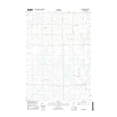
2015 Map of Black Brook
USGS Topo · Published 2015About this map
Peck Cemetery sits at the northern edge of this Wisconsin landscape, where the headwaters of several drainages begin to carve through the terrain. The central and southern portions of the map are defined by the winding course of Black Brook and its associated wetlands, reflecting the hydrologic character of Langlade County. In the southeast, the West Branch Eau Claire River flows through the area, while the southwestern corner is marked by the Trappe River and a small Reservoir.
Find a feature on this map
32 named features on this map. Tap any name to fly to it.
Don’t see what you’re looking for? This feature index may not catch every label — zoom into the map to look around manually.
Map Details
Editions of this 2015 Black Brook Map
This is the sole edition of this map. No revisions or reprints were ever made.
Other maps of this area

1899 · Wausau
USGS Topo · 1:125,000

1902 · Wausau
USGS Topo · 1:125,000

1940 · Parrish
USGS Topo · 1:48,000

1942 · Elcho
USGS Topo · 1:48,000

1950 · Elcho
USGS Topo · 1:48,000

1950 · Parrish
USGS Topo · 1:48,000

1951 · Doering
USGS Topo · 1:48,000

1952 · Parrish
USGS Topo · 1:48,000

1952 · Antigo
USGS Topo · 1:48,000

1954 · Iron Mountain
USGS Topo · 1:250,000